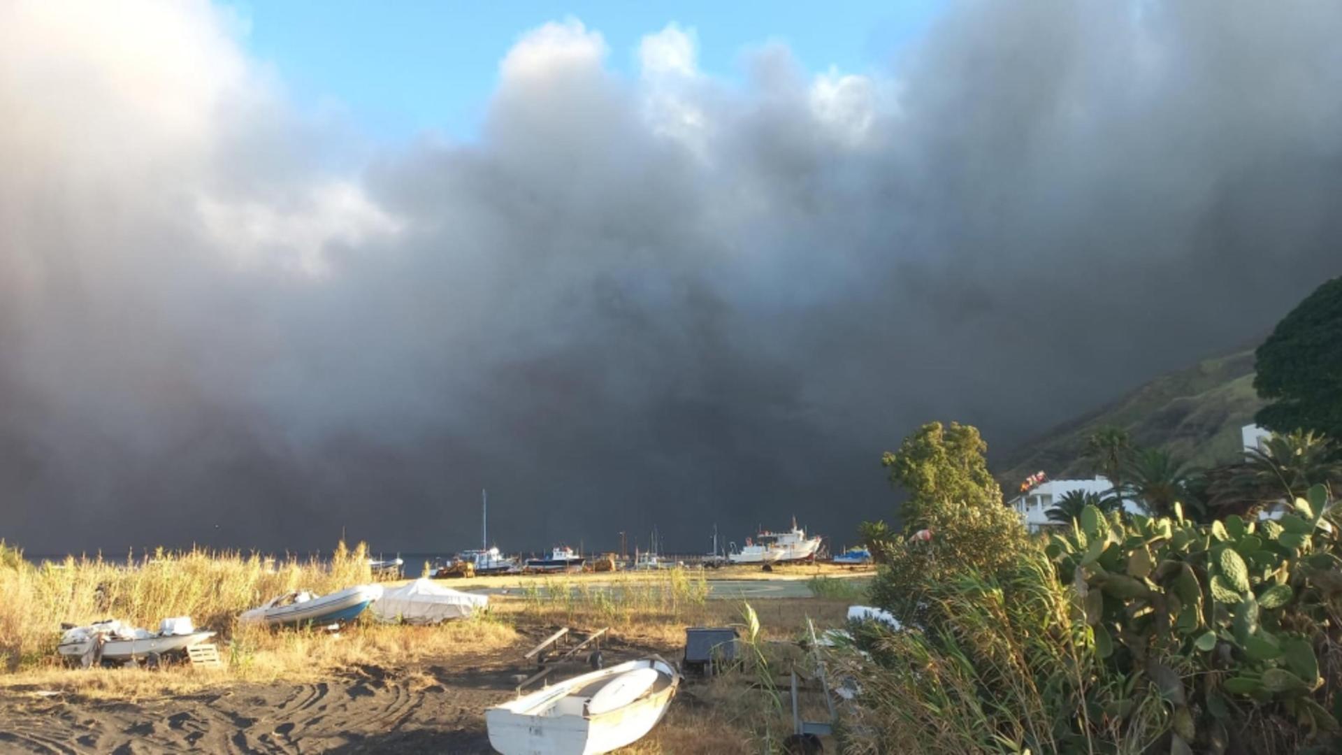
An active monsoon weather pattern continues through the middle of this week. Drier weather returns for the Fourth of July.
It is yet another active afternoon with numerous showers and storms moving across the state today. These storms are all capable of heavy rainfall and even severe weather, including gusty winds. Storms will continue through this evening, with spotty showers sticking around overnight and into Tuesday morning for parts of the state. Another round of rain and storms will develop again Tuesday afternoon, especially in the southern half of the state. Drier air will move into northwest New Mexico.
Even drier air moves in on Wednesday, but there will still be scattered afternoon storms across parts of New Mexico. Burn scar flash flooding will continue to be possible through Wednesday. Drier air returns for most of the state for the Fourth of July. The exception may be a couple isolated storms along the Sacramento Mountains and far southeast New Mexico.
A backdoor cold front will bring back more widespread showers and storms to eastern New Mexico on Friday. Some of these storms could bring heavy rainfall to the Ruidoso area again starting Friday. Overall, the weather will be drier heading into the weekend, with the exception of isolated afternoon storms mainly across southern and eastern New Mexico.


