New Mexico is in for another hot afternoon. Showers are staying scattered to the south.
With temperatures reaching above the triple-digits, the NWS has issued a Heat Advisory until 8:00 p.m. on July 31st. This Advisory includes areas of eastern NM like Tucumcari and Carlsbad, as well as, the Metro.
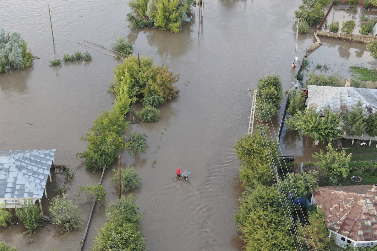
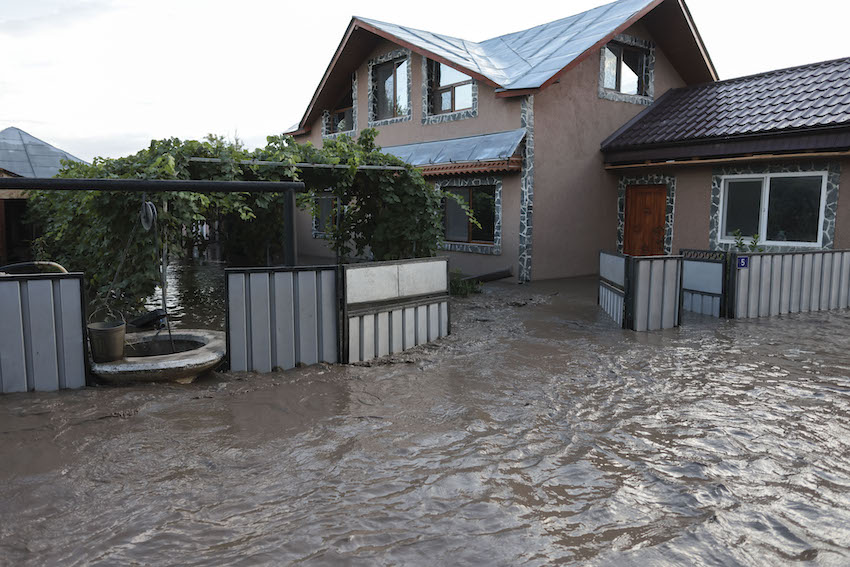
The rain chances today are mostly concentrated to the south. The highest chances will be along the Gila and Sacramento Mountains. There is potential for Ruidoso to see more rain this afternoon and evening. So, there is a Flood Watch for the burn scar areas surrounding Ruidoso in place through the evening of July 31st.
The reason for these high temperatures and lack of widespread rain is a High Pressure system situated over west Texas. Reprieve will come later in the week when this High Pressure relocates to the Four Corners. By Thursday and into the weekend widespread rain should return and temperatures will begin to cool off in most areas.
While widespread rain returning could help the drought, it also increases the chances of burn scar flooding. The Hermits Peak Calf Canyon and Cerro Pelado Burn Scars will see in increased risk of flooding on Friday.


