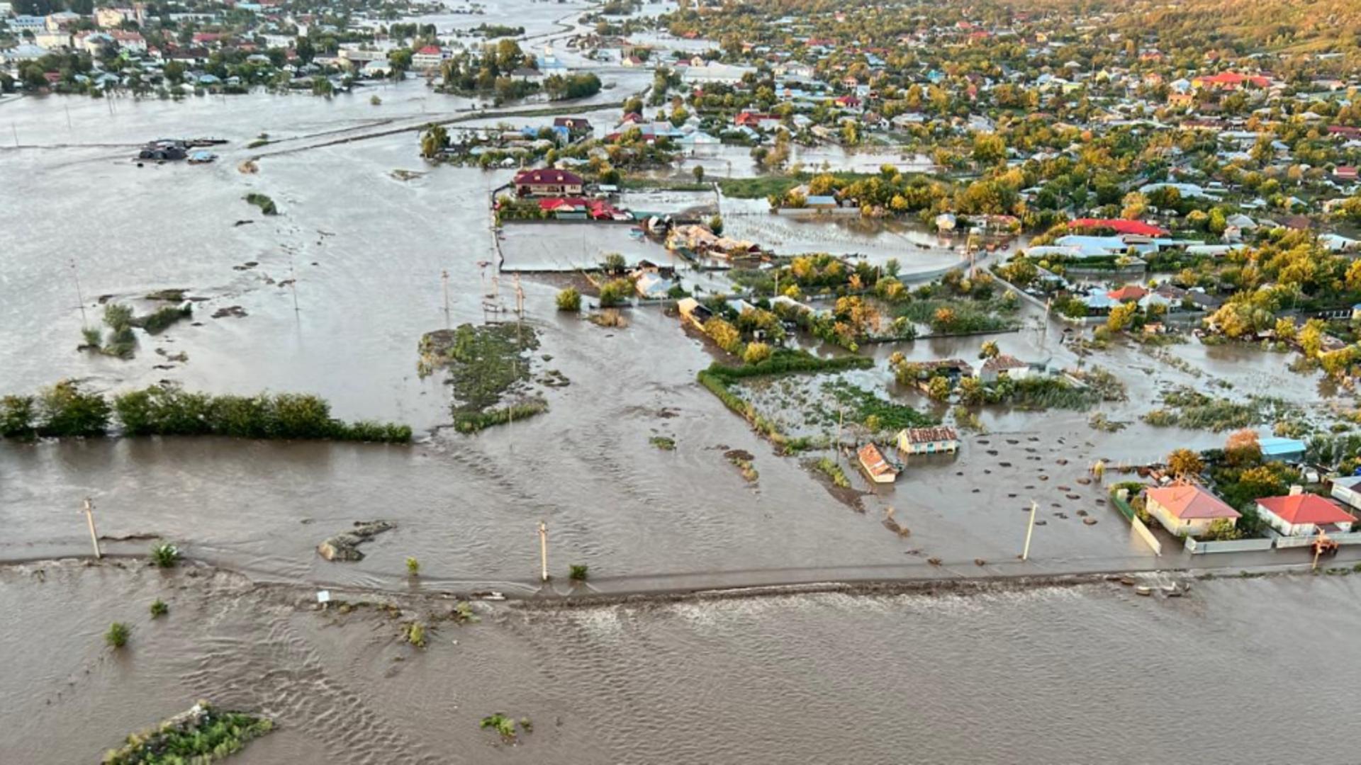
NEW MEXICO (KRQE) – Slightly less-widespread thunderstorms with near-normal temperatures will continue to be the big story across The Land of Enchantment as showers and rumbles are still occurring for some this morning with damp air for most. The rain activity is slowly diminishing in coverage, but still holding together while moving along slowly to the northeast along the eastern part of the state from Las Cruces to near Clayton. Elsewhere, showers are very light or non existent, but plenty of clouds are present, except for a good portion of The Four Corners and Southeast New Mexico.
Morning temperatures are at or slightly below normal, with the northern mountain communities mostly starting off in the high 30’s in the highest elevations, 40’s and 50’s farther down in elevation, while valley locations are mostly ranging from the high 40’s to mostly below the 70’s. As temperatures across the region rise from the morning school commute into the upper 60’s, 70’s, 80’s, and lower 90’s by the afternoon, plenty of moisture in the air, along with just enough daytime heating, will lead to plenty of areas receiving the potential for rainfall across the viewing area. While the far northwestern parts of The Four Corners may be even drier today, the heart of the region has the best chance of rain for today with the flash flooding risk higher in the early-to-mid afternoon hours because the storms will be even slower in movement. Hit-and-miss stronger thunderstorms will pick up speed a little bit to the northeast from The Gila National Forest, to The Northern Mountains, then eventually to not only parts of The Northeastern Highlands, but also, potentially a part of The Rio Grande Valley, as well as parts of The Pecos River Valley. Today’s storms once again have the good possibility for localized heavy doses of rain, some pockets of hail, strong winds, and some-frequent lightning strikes.
While moisture that came in from the southwest continues to envelope most of the region, the high pressure system, well to the northeast, will start to drift farther to the southeast later this week, allowing for the stormier pattern to become more widespread to the south eventually, as well as the potential for below-normal temperatures. Wet weather will still continue for many for at least during the next week, especially late this week.


