April showers continue across Southern California this weekend
Breaking News
Doug Smith April 13, 2024
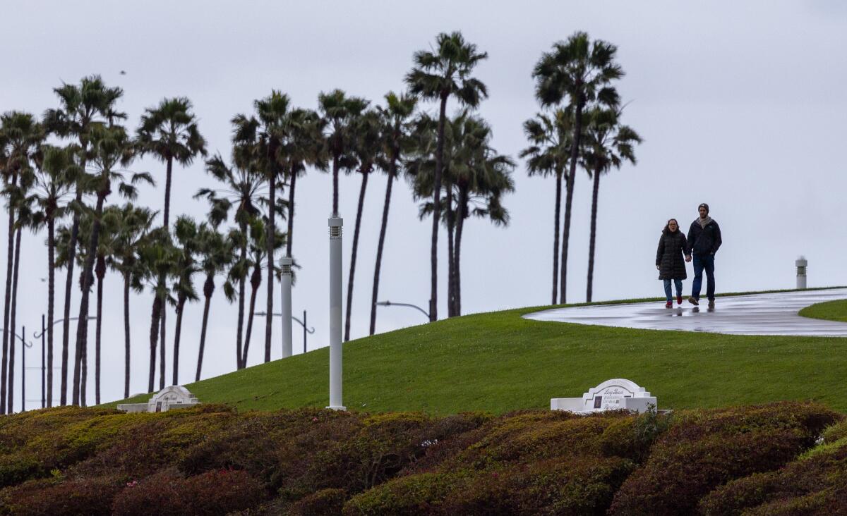
A chilly spring storm system moving into Southern California
on
Saturday was expected to bring drizzles by 3 p.m. followed by a quarter to half an inch of rain through Sunday.
“The latest storm total is looking to be around one quarter inch up to 1 1/2 [inches] for mountain areas,” said meteorologist Rose Schoenfeld, of the National Weather Service Oxnard station.
Snow was forecast for the mountains above 6,000 feet, with up to 10 inches falling on the highest peaks and a dusting of up to an inch on the Grapevine through Sunday morning.
Temperatures were stuck in the high 50s to low 60s across the region Saturday, eight to
15fifteen
degrees below normal and were expected to remain below normal through Monday.
“This weekend temperatures [will be] struggling to reach 60” degrees, Schoenfeld said.
Wind gusts of 20 mph to 40 mph were forecast to accompany the late-season storm reaching peaks along the I
nterstate-
5 corridor and the Antelope Valley.
The latest in a series of soggy weekends is expected to be followed by at least a week of warm and dry weather starting with above-normal temperatures Tuesday, but is not necessarily the season’s last.
“For six to
ten 10
days out, we dont see signals for any storm,” Schoenfeld said. “Beyond that uncertainty.”
Normal precipitation for April is around seven-tenths of an inch.
“If we get one quarter, we wont be close,” Schoenfeld said, acknowledging
,
though that
,
“rarely do we see a regular normal year.”
Snow was also forecast for California’s Sierra Nevada with up to
eight 8
inches expected in the Mammoth Mountain area later Saturday and up to 12 inches in the higher peaks of the
S
southern Sierra.
Meteorologist Mark Deutschendorf of the National Weather Service Reno station said the new snowfall would moderately add to the late-season surge that has pushed the snowpack to a current level of 118% of normal.
“The whole general theme of this winter season is it started well below average, then in February and March a series of storms brought the totals up,” Deutschendorf said. “We were able to rally and catch up and get slightly above normal.”
Moving from the west, the system hit
c C
entral California early Saturday morning
,
dropping slightly more than a third of an inch in San Francisco and just under four-tent
h
s of an inch in San Jose before moving across the
c C
entral
c C
oast, said Roger Gass, meteorologist in the National Weather Service Bay Area station.
Scattered showers and isolated thunderstorms were still possible Saturday afternoon, but there were no reports of damage or flooding, Gass said.
The rainfall brought the season total
to
from average or up to 120% of average, Gass said.